The plan is frozen
The hazard map in the municipality's current plan was drawn in 2021 and stays fixed until 2030. The vegetation it describes has since burned, grown, or changed species.
 Rural Fire Prevention
The annual fuel-management budget covers a fraction of the territory. This tool ranks a municipality by how much each place gains from being treated, and explains every position in plain language.
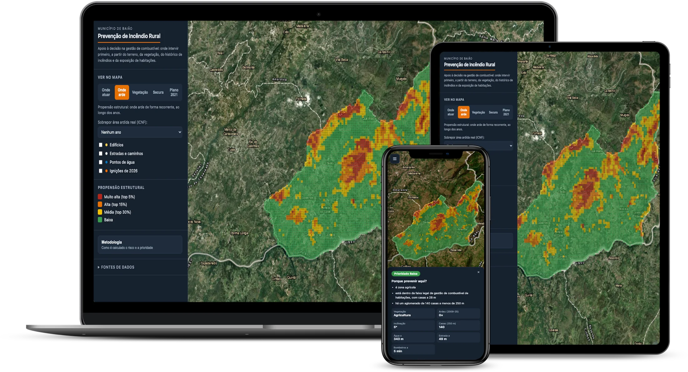
The same information at the desk and in the field.
The hazard map in the municipality's current plan was drawn in 2021 and stays fixed until 2030. The vegetation it describes has since burned, grown, or changed species.
No municipality clears everything in a year. The decision that counts is not whether there is risk, but where to start when only part of it can be treated.
A brush-covered slope far from anything and the same slope up against a village do not deserve the same intervention, even at equal risk.
Seventeen years of burned areas from the ICNF, crossed with slope, sun exposure, vegetation type, and the state of that vegetation as measured from orbit.
18,914 buildings detected by machine learning over satellite imagery, with the size of the cluster weighing more than plain distance.
Water points from the municipal plan, road access, and the real travel time from the nearest fire station, computed over the road network rather than in a straight line.
Prevention is worth more where suppression arrives late. That is why difficulty is not a footnote: it is one of the three factors.
Every week the tool collects the year's ignitions, the burned areas published by the ICNF and fresh Sentinel-2 imagery, and recomputes the state of the vegetation. It compares that against the median for the same month across 2015-2025, to tell an ordinary summer from a dry one.
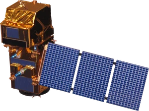
Sentinel-2 passes over Baião every five days.
A published map informs decisions about public spending. These numbers are here for the same reason they are in the code.
Baião is the pilot municipality: rated T4 by the ICNF, the worst tier, with both many ignitions and a large burned area. That is 210,998 cells of 29 meters, each with its place in the order and the reasoning written out.
Open the mapFor more information about the method, the data or the application.
Send an email